


This summer, before heading outside, you should look at a new feature from Google Maps.
When planning an outdoor activity, it’s important to consider the weather, if it will rain, what to wear, or whether you need to bring sunscreen on days with a lot of UV radiation. Aussies may also be aware of air quality as the climate heats and bushfire season approaches. Understanding the local air quality can help you manage a medical condition that is negatively impacted by poor air quality or assist you to avoid unusually cloudy regions.
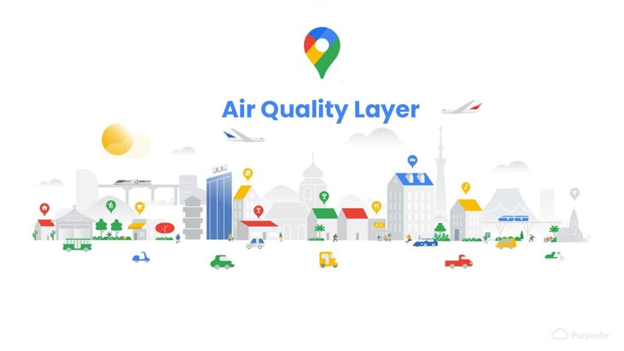
To help you make more informed decisions about outdoor activities and take the appropriate measures, you can add the air quality layer to Google Maps on both Android and iOS. You can view the accessible, visual Air Quality Index (AQI) or AQC (Air Quality Categories), which are indicators of how clean (or unclean) the air is, together with recommendations for outdoor activities, the date the data was last updated, and links to more information.
For Android and iOS users to “make better-informed decisions about whether it’s safe to go on a hike or other outdoor experiences,” Google has created a tool for evaluating air quality conditions.
The air quality layer tool displays the Air Quality Index (AQI), a measure of pollution commonly used by governmental organisations to alert the public to the pollution level in a certain area. Google Maps will include information from the Environmental Protection Agency and PurpleAir, a sensor network that offers hyper-local air quality data, which is currently only accessible in the U.S.
Google Nest screens can also display data from PurpleAir.
How to use Google Maps to assess the air quality
1. Launch Google Maps and either input the address you intend to visit in the search field or click the arrow button in the bottom right corner of the screen to determine your position.
2. To open the layers menu, click the layers button in the upper right corner next to the search bar.
Your air quality tool may be found in the layers section.
3. From there, choose “Air Quality” from the list of map features.
4. After that, Google will show you the index, which has the most recent information about the weather in your area.
None
There’s also the air quality.
With the air quality function, Maps has also added a feature that enables users to see whether fires are currently occurring in their neighbourhood.


