

Every day, decision-makers working for industrial organizations all over the world are tasked with making calls on high-stake matters that impact operations, profits, plans, and safety. Often, they are asked to do so with a sub-optimal level of relevant information made available to them.
While there may not have been a cost- or time-efficient way around this in the past, the technology available today leaves no excuse for anything less than highly informed decision making. As it turns out, one of the best decisions industrial decision-makers could make is one to invest in a leading industrial drone equipped for these game-changing imaging technologies.
Live video
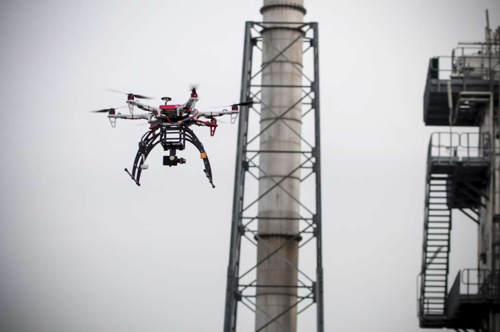
Live video may be the most obvious answer here, but the benefits of having access to real-time high-definition video cannot be overstated. Whether it’s putting inspection drones to work, ensuring equipment and infrastructure is safe and in good working condition without endangering employees for those inspections or stopping operations, or making security and surveillance more efficient and less risky for security personnel, or relying on drones to provide essential information during emergency response, decision-making across industries has been markedly improved by the fast and detailed information that can be gleaned from instantly transmitted high-definition video. Industrial sites are safer, more secure, and more efficient for it.
LiDAR
LiDAR or light detection and radar as it is known in its long form is an aerial imaging technology that creates 3D models by using pulsed laser lights to illuminate points on a target and determine precise location by measuring how long it takes the light to bounce back from each point.
As far as surveying goes, LiDAR is one of the most precise and advantageous technologies currently available, besting even aerial photogrammetry by accurately measuring terrain or objects below tree canopy and vegetation, operating in poor lighting conditions or at night, and recognizing narrow objects like power lines.
When compared with traditional surveying methods, the fight isn’t even fair. Where traditional surveying uses hundreds of points, aerial surveying uses tens of millions, increasing accuracy while decreasing the amount of time it takes for the job to be completed, requiring hours instead of days and eliminating the need for work delays or stoppages and eliminating the need for human surveyors to be deployed to remote and dangerous locations.
LiDAR means more precise surveying information provided faster and improved decision-making for planning, construction, decommissioning, blasting, stockpile evaluation, and management, the list could go on.
Orthophotography
Accurate, highly-detailed maps are essential for informed management and decision-making across a number of industries, as are photo representations of locations and work sites. The aerial imagery from industrial drones can’t be topped for precision or efficiency when it comes to combining these two types of data.
Using orthophotography, industrial drones take huge numbers of aerial photos which are programmatically matched up to form a composite photograph that is geometrically corrected so the scale is uniform. This is called an orthomosaic map, and it is essentially a photo representation of an area that can be used to measure true distances as it’s as accurate as a map.
Orthophotographs and orthomosaic maps are invaluable tools for planning, tracking progress, and managing builds, infrastructure and environmental conditions in industries like construction, mining, oil and gas, telecommunications, and transportation.
Hyperspectral and multispectral imaging
Hyperspectral and multispectral imaging is imaging that illustrates light bandwidths not visible to the human eye. A technology already in use by military aircraft and satellites, the downsized version made available on industrial drones has helped equip decision-makers in industries like agriculture, mining, oil and gas, and surveillance with information that could otherwise not be gleaned.
For example, hyperspectral and multispectral imaging can detect nutrient deficiencies in soil, detect minerals, find new oil fields, and uncover even the best-hidden intruders (which thermal imaging could miss) by identifying spectral signatures that would otherwise go unseen.
An automatic advantage
For firms truly looking to improve decision-making processes, not just any industrial drone will do. The truly revolutionary industrial UAV technology lies with automated industrial drones, which not only fly themselves, eliminating the need for a human pilot, as well as associated delays and potential for human error but can also change their own sensors to enable a variety of applications, including any or all of the above imaging technologies.
By deciding to invest in an industrial drone and then deciding to go with a leading automated drone, industrial organizations will be well on their way to better decision-making.
Image Credit: Roxudron.com


